
In this story
A blank sea invited a story
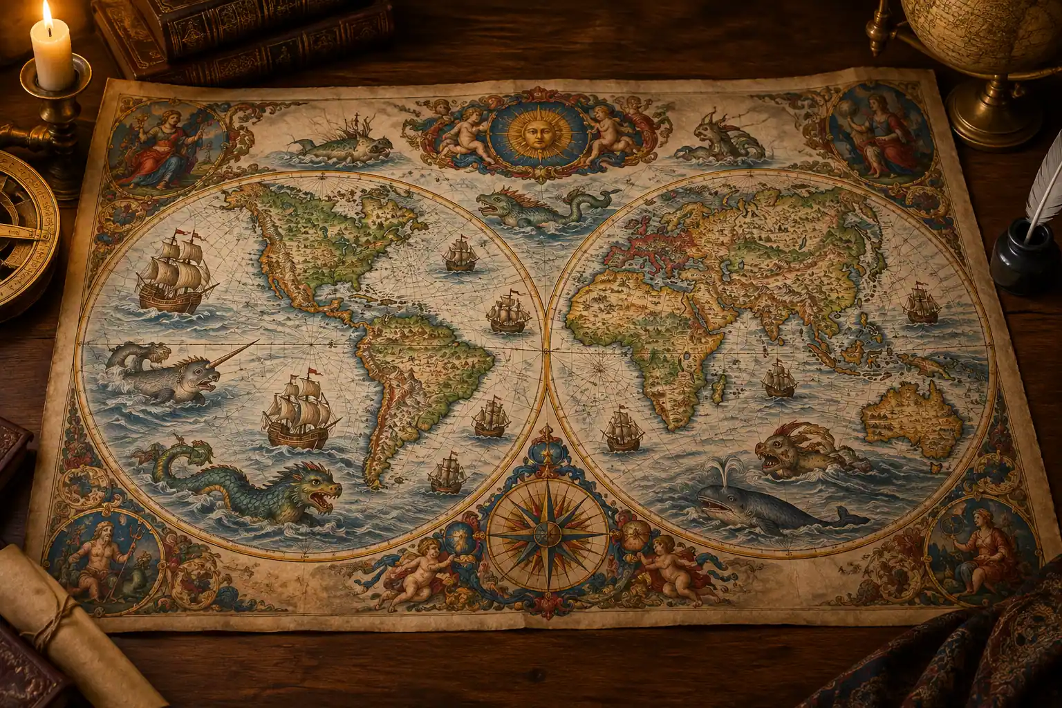
Many medieval and Renaissance maps were not intended to function like a modern road map. They were also explanations of the world: objects to study, display and admire. When a mapmaker reached a region for which reliable information was limited, the empty space could be filled with text, pictures or creatures drawn from existing stories.
In medieval and Renaissance Europe, knowledge about distant regions came from a mixture of classical writings, the Bible, folklore, travellers’ accounts and reports passed between sailors and merchants. In that setting, strange animals and fabulous beings could be treated as possible features of the natural world rather than as pure fantasy. A sea monster on a map therefore expressed uncertainty: it showed that the ocean was a place of wonders and hazards that remained only partly understood.
They were not put on every map
The familiar idea that old maps routinely carried the warning ‘here be monsters’ is misleading. The Library of Congress notes that sea monsters were not found on all medieval and Renaissance maps. They appeared more often on maps made for decoration, education or private display than on working nautical charts.
A chart carried aboard a ship had a practical purpose. It needed to help sailors identify coastlines, ports and routes, and it had to survive the difficult conditions of use at sea. A large painted creature might be attractive on a wall map but could be irrelevant—or inconvenient—on a chart designed for navigation. Sea monsters were often an optional decorative feature, added when a patron wanted an impressive object rather than a strictly functional instrument.
The creatures could be built from real observations
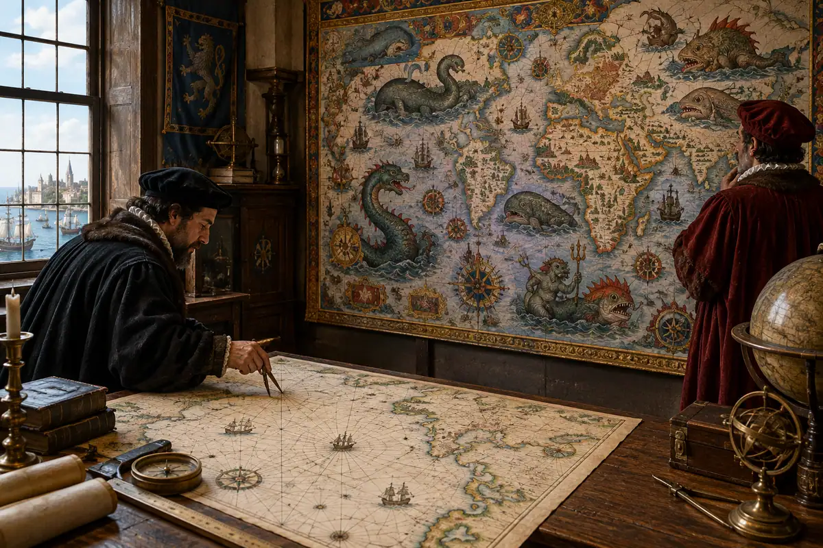
A map monster did not necessarily come from one invented tale. Cartographers could combine several kinds of information: descriptions of unfamiliar animals, reports from voyagers, images copied from earlier books and familiar bodies given exaggerated proportions. The resulting creature might look mythical while still reflecting an attempt to make sense of something seen or reported.
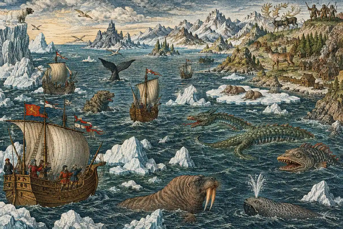
This mixture is especially clear in the study of Olaus Magnus’s Carta Marina, printed in Venice in 1539. The map is crowded with ships, northern landscapes and sea creatures. Research on the map connects its information to experiences and reports gathered from merchants, sailors, fishermen and whalers. The monsters are therefore part of a broader record of how people interpreted northern seas, not merely random decoration.
That does not mean every creature represented a real animal. Some were clearly shaped by legend, and the evidence for the original source of particular images is sometimes incomplete. Historians can trace some figures to earlier texts or travellers’ tales, but not every image has a single identifiable origin.
They made danger visible
The ocean was difficult to cross, difficult to measure and difficult to control. A large creature attacking a ship turned an abstract danger into a memorable scene. It suggested storms, reefs, currents, unfamiliar waters and the possibility of encountering something beyond ordinary experience.
On maps of northern waters, monsters could reinforce the idea that the region was remote and hazardous. A Library of Congress reproduction of Olaus Magnus’s map shows the sea as a threatening environment populated by ships and fantastic creatures. In this visual language, the monster was a warning—but also an invitation to look more closely at the places beyond familiar shores.
The images could also reflect the mapmaker’s assumptions about distant peoples and regions. Chet Van Duzer, a historian of cartography, argues that map imagery can reveal how Europeans imagined places they did not know well. The creatures were evidence not only of geographical uncertainty but of the habits, fears and expectations that shaped the interpretation of unfamiliar parts of the world.
A map could advertise power
Decorative maps were sometimes commissioned by wealthy patrons, and their imagery could communicate more than geographical information. A famous example discussed by the Library of Congress shows King Manuel of Portugal riding a sea monster near the southern tip of Africa. The image was designed to proclaim Portugal’s control of the sea route from Europe around Africa towards the trading centres of India.
In that context, the monster did not simply represent an unknown animal. It helped stage the ocean as a space that a ruler or kingdom had mastered. The map transformed exploration and trade into a visual claim: dangerous, distant waters had been entered, crossed and brought within the reach of political power.
This is one reason monsters should not be dismissed as childish decoration. Their placement, size and relationship to ships, rulers and coastlines could contribute to the map’s argument about who knew the world, who controlled it and what remained beyond reach.
Why do the monsters look familiar?
Many map creatures combine recognisable parts. A monster may have the body of a fish, the head of a horse, horns like a land animal or a long serpentine tail. This made the unfamiliar easier to picture. Instead of presenting an entirely incomprehensible being, the artist assembled a new creature from known forms.
The Library of Congress gives the example of a water-horse on a sixteenth-century map of Iceland. The creature draws on folklore about a dangerous being that could drag unsuspecting people into the water. Its presence links the geography of Iceland with stories about the dangers associated with its lakes and seas.
Other monsters attacked ships, surfaced beside coastlines or occupied open stretches of water. Their actions mattered as much as their appearance. A creature facing a vessel could dramatise peril; one calmly swimming through the ocean could suggest abundance, mystery or the marvellous.
What to remember
- Sea monsters were most common on decorative and educational maps, not practical navigation charts.
- They helped mapmakers represent uncertainty when reliable geographical information was limited.
- Many images combined folklore, travellers’ tales, reports from sailors and familiar animal forms.
- Monsters could warn viewers about dangerous waters, entertain them or make distant regions seem wondrous.
- Some map creatures also supported political messages about exploration, trade and control of the sea.
- The popular phrase ‘here be monsters’ should not be treated as a complete description of how historical maps worked.
Sources & further reading
Where this story comes from
- Imaginary Maps in Literature and Beyond: Map MonstersLibrary of Congress
- Chet Van DuzerLibrary of Congress John W. Kluge Center
- Sea Monsters on Medieval & Renaissance MapsLibrary of Congress
- Sea Monsters on Medieval and Renaissance MapsBritish Library Publishing
- Map of the Sea: Olaus Magnus’s Carta MarinaLibrary of Congress
- Exploring Waldseemüller’s WorldLibrary of Congress
This story was researched, drafted and illustrated with AI, then automatically checked against ANTB's structural and sourcing rules. Use the linked primary and institutional sources to verify important details.
 History · 6 min read
 History · 6 min read
 History · 6 min read